
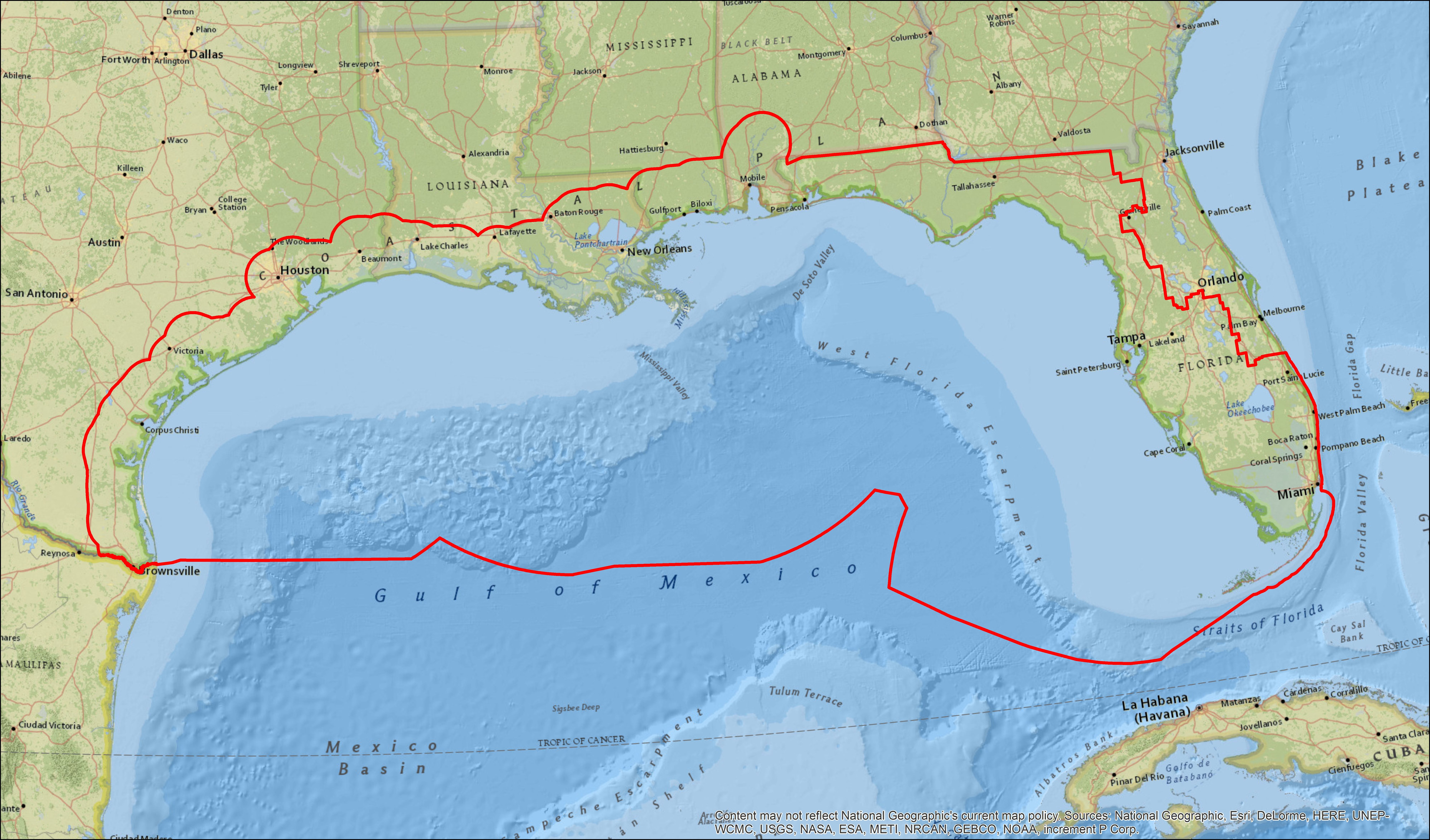
To better frame bird monitoring discussions in the northern Gulf Coast, the geographic extent for GoMAMN efforts is bounded on the Gulf side by the southern edge of the Marine Bird Conservation Region (#20 United States, Gulf Coast) with the inland extent (northern boundary) defined by the RESTORE Act Comprehensive Plan 2016 [i.e., individual state Coastal Zone Management Act (1972) boundary], plus a 40.23 km (25 mi) inland buffer. The western-southwestern extent of the geography includes that area extending inland (CZM + 40.23 km) near Brownsville, Texas, and the east-southeastern extent is defined by the Florida Water Management District boundaries (Florida Department of Environmental Protection), excluding the Northeast Florida Water Management District.
Click image to view larger.